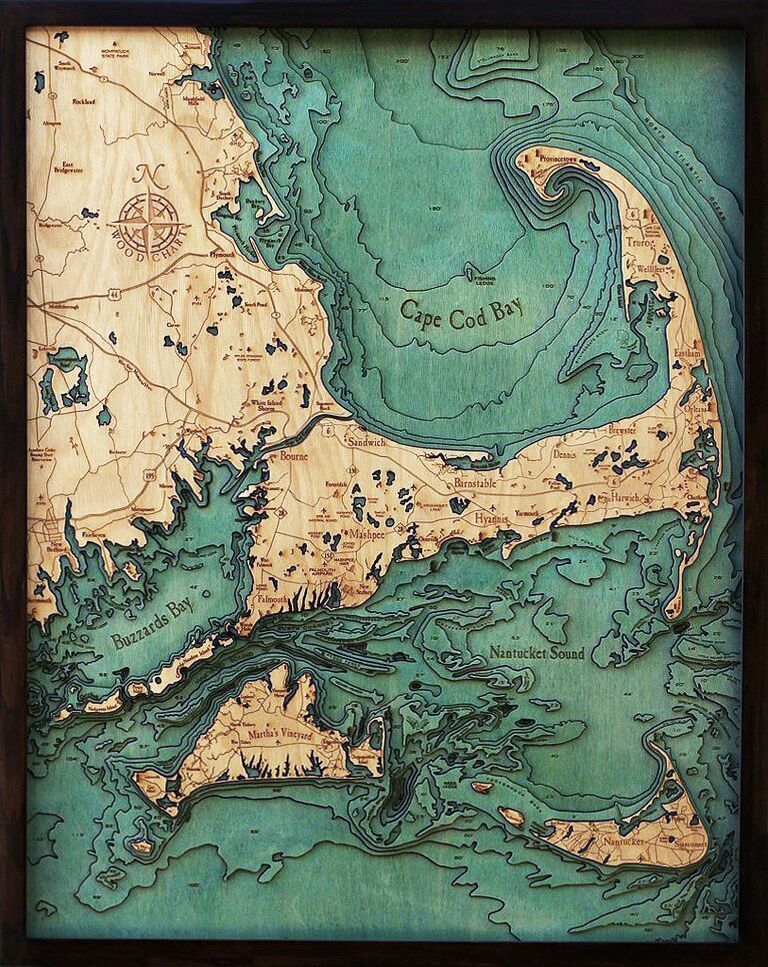
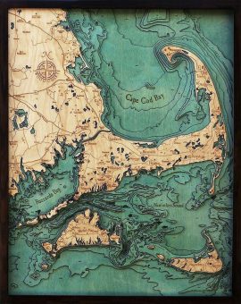
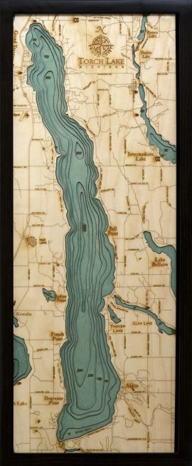
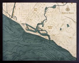
Bathymetric Map Cape Cod, Massachusetts
$332.00
Extremely accurate bathymetric map of Cape Cod, Massachusetts and surrounding area. Referred to locally simply as “The Cape”, it’s historically a summer getaway for maritime-minded tourists seeking sunny beaches and old-world charm. In other seasons, the Cape serves as an invaluable barrier island, shielding much of the Massachusetts coastline from North Atlantic storm waves.
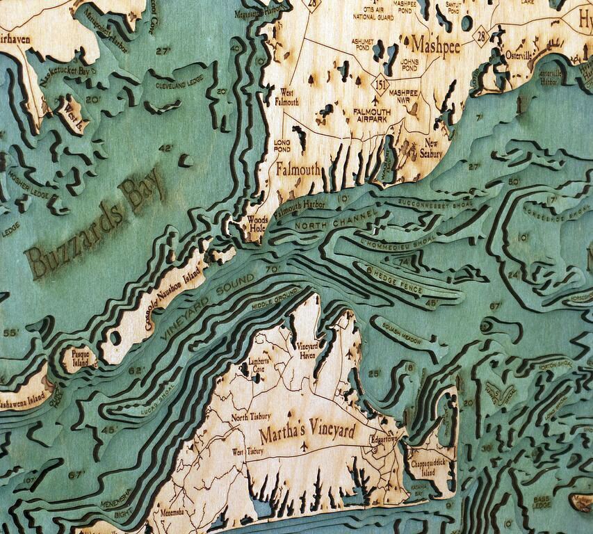
The waters surrounding Cape Cod are treacherous; an ever-changing array of shoals. Because of this, lighthouses are plentiful and have become synonymous with the cape. Sailors from many generations have found their bearings in the otherwise dangerous waters because of these well-preserved beacons and their lesser-known counterparts, the American lightships.
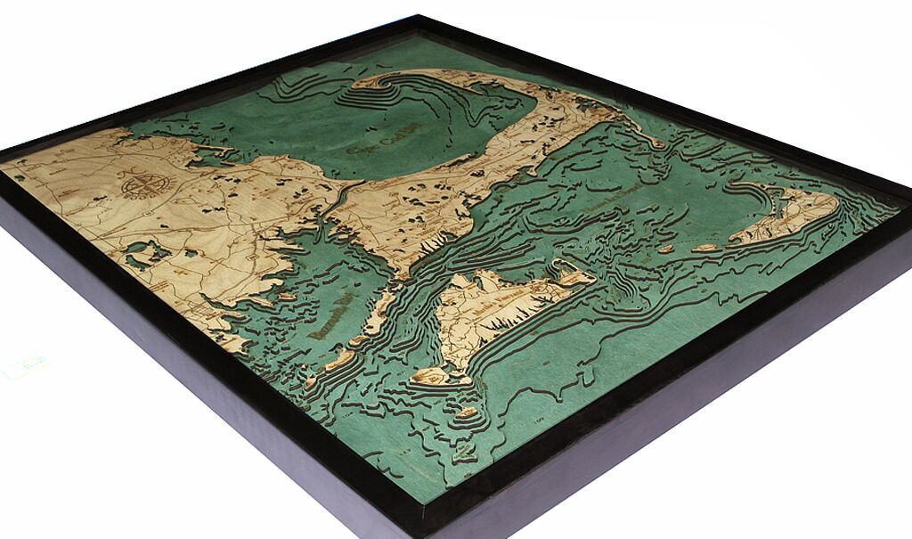
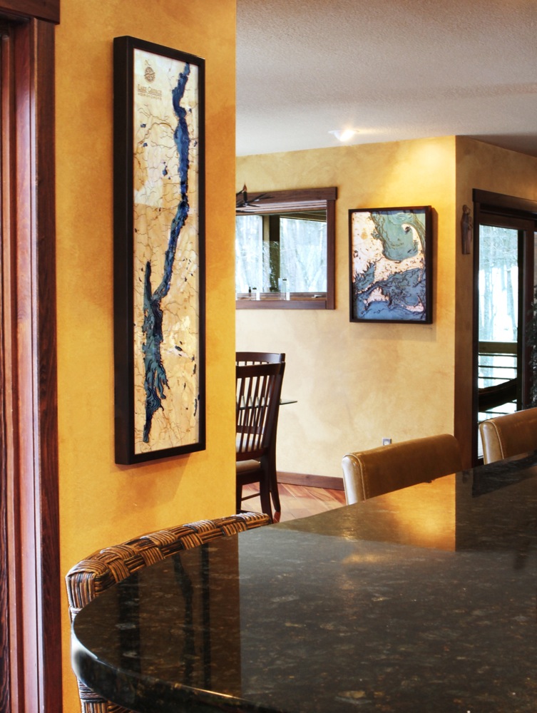
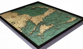
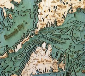
This three dimensional map is carved from Baltic birch wood, framed and has a acrylic covering to protect the wood. Professional cartographers are used in the creation of each individual chart in order to insure the utmost accuracy. Some maps come in two sizes in order to fit virtually any area in the home, office or boat. We have charts from areas across the U.S. available on a drop ship basis. This is a great item at an unbelievable price. If you are searching for a particular area, please call or email.
The color will differ slightly with both the frame and background as each of the maps are hand stained and may vary from the picture.

